

Trat Monthly Climate Averages
Trat is located in tropical monsoon climate zone. Typical weather for this zone is vast rainfall during summertime and significant decrease in winter. Thus with insignificant temperature variance we can see big change in precipitation between seasons.
To help you choose the best time to travel, you can find climate data below on the weather in Trat .
| Month | day |
night |
rain |
|
| January | +31.5 | +21.8 | 37 | 12h |
| February | +31.7 | +23 | 86 | 12.2h |
| March | +32.4 | +24 | 115 | 12.4h |
| April | +33.2 | +24.6 | 185 | 12.7h |
| May | +32.6 | +24.7 | 427 | 13h |
| June | +31.3 | +24.1 | 830 | 13.1h |
| July | +30.7 | +23.9 | 972 | 13h |
| August | +30.5 | +24 | 1040 | 12.8h |
| September | +30.9 | +23.8 | 681 | 12.5h |
| October | +31.5 | +23.4 | 377 | 12.3h |
| November | +32.2 | +23.2 | 73 | 12h |
| December | +31.7 | +22.1 | 21 | 11.9h |
High season with the best weather conditions for the beach leisure in Trat are typically January, November, December.
Temperature in Trat
The table shows that the hottest months in Trat are April and May, during which the average daytime temperature reaches +33.2°C and the nighttime temperature falls to +24.6°C.
The coldest months are August and July, when the daily average temperature falls to +30.5°C, and drops to +24°C during the night.
Best beach resorts :

Dubai
UAE

Venice
Italy

Barcelona
Spain

Cape Town
South Africa

Nice
France
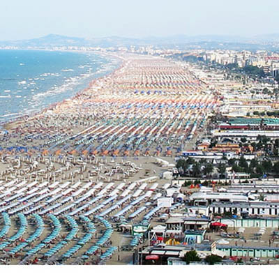
Rimini
Italy


Most Popular Destinations in the World
Sea temperature
The month with the highest average monthly temperature in the Gulf of Thailand on the beaches of Trat is April with 30 degrees.
The coldest water can be found in January — 28degrees C.
Precipitation
The largest amount of precipitation falls on average in August and July, up to 1040mm, and the least in December and January — up to 21mm.